BIM and GIS integration combines the detailed design capabilities of Building Information Modeling (BIM) with the spatial context of Geographic Information Systems (GIS). Together, they enable a more coordinated way to manage the complexities, risks, and interdependencies in metro construction projects.
BIM offers 4D infrastructure design that integrates construction sequences with modelled components – allowing teams to simulate and coordinate the build process over time. However, its focus often remains limited to the project’s areas. GIS complements this by adding a broader geospatial perspective. At VisiLean, this takes shape through a map-based interface that allows users to visualise project tasks along with the actual alignment, review work zones about surrounding infrastructure & access routes and more.
In this blog, we will explore how VisiLean brings these two technologies together through location-based planning, mapped work zones, and real-time field updates. Plus, how this gives teams better project control, clearer visibility, and improved coordination across complex metro rail alignments.
Table of Contents
- How VisiLean is Transforming Metro Construction Projects
- Visualising Project Specification with Geo-spatial Clarity
- Ensuring Continuity Across Linear Workfronts
- Enhanced Reporting that Mirrors Ground Reality
- Making Inspection and Quality Tracking Visual and Verifiable
- Let’s Discuss How It All Comes Together on Your Metro Projects
How VisiLean is Transforming Metro Construction Projects Through BIM and GIS Integration?
Metro infrastructure construction isn’t just complex—it’s continuous, constrained, and constantly moving. With work stretched across kilometres of underground and elevated corridors, each decision impacts the next zone. Here’s how VisiLean is simplifying metro construction projects through BIM and GIS integration.
Visualising Project Specification with Geo-spatial Clarity
VisiLean’s integrated map allows teams to visualise construction zones with geo-spatial clarity on real-world conditions. This provides more visibility, critical in metro construction projects where teams often struggle to align design and execution with the ground realities. Plus, by linking tasks to actual execution zones, VisiLean offers a live and interactive view of scheduled and ongoing work across the alignment.
This allows teams to see how work fronts relate to surrounding infrastructure such as roads, buildings, and sensitive structures—enabling smarter decisions around equipment movement, public disruption planning, and more.
Furthermore, by combining schedule data from BIM with mapped locations, teams can gain a more realistic understanding of project scope. This ensures that decisions are not just structurally sound but spatially feasible, especially in dense urban areas.
Ensuring Continuity Across Linear Workfronts
Linear work fronts, like in metro construction projects, bring a unique layer of complexity – progress isn’t confined to a single site but spread across a geographically continuous corridor where the output of one zone often unlocks the next.
However, through VisiLean, teams can visualise construction progress on an actual map of the alignment; instead of reading status in rows and columns, planners can see the entire corridor, identify which work zones are active or stalled, and understand how spatial gap affects the sequence.
This allows teams to integrate location data with lookahead plans and understand upcoming activities, flag constraints, and coordinate workforce or material needs to maintain continuity across the entire project.
Enhanced Reporting that Mirrors Ground Reality
Reports play a pivotal role in managing any construction project effectively – not just for internal coordination but also for client reviews, contractor accountability and executive-level decision-making.
Through traditional construction tools, progress is often shared over chats and then manually entered into spreadsheets—where coloured bars represent work status. These are then converted into PDFs and circulated, often losing context along the way. These static reports are deeply fragmented, time-consuming, and fundamentally unfit for the scale and complexity of metro projects.

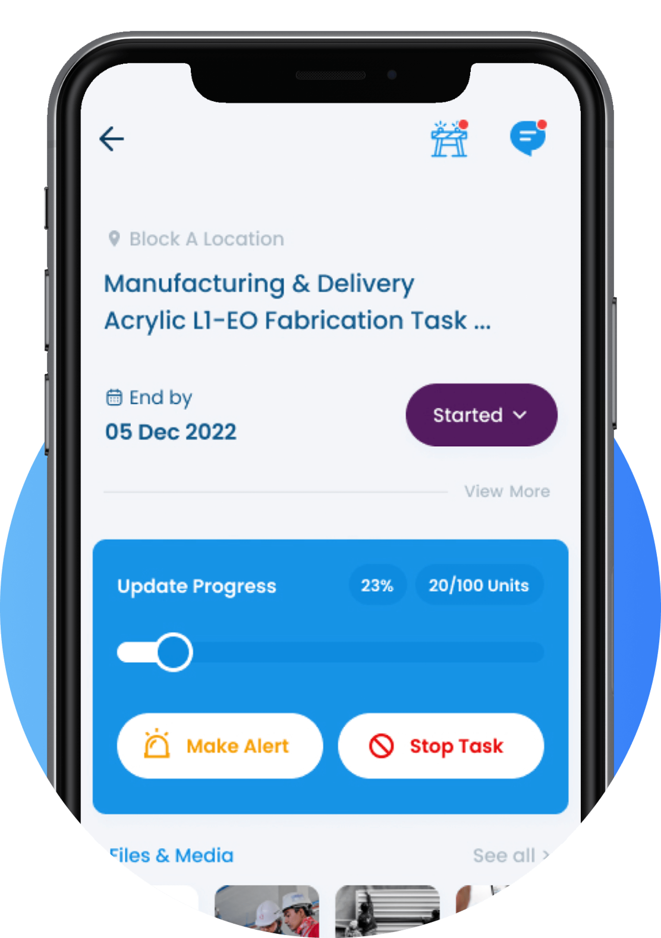
In contrast, VisiLean offers an innovative and smart shift through BIM and GIS integration. Our platform directly connects field teams with a centralised digital environment, where real-time progress updates are captured and reflected instantly across master schedules and dashboards.
Instead of colouring cells in a spreadsheet, teams now interact with 4D visual representations of the built environment. Additionally, through this modelled, geo-located approach, project reports are no longer abstracted but rather more visible and actionable. Everyone from site engineers to project managers operates from the same source of truth.

Making Inspection and Quality Tracking Visual and Verifiable
Through BIM and GIS integration, VisiLean clarifies the inspection process. Teams can pin tasks directly onto the digital map, each linked to specific BIM components and field locations. These tasks carry everything needed to close the loop: checklists, photos, and documents—all tied to the exact point of execution.
This connected setup ensures that quality checks aren’t removed from the workflow—they move with it. As work progresses, updates reflect instantly across the model and map. Workers on the ground and managers off-site are always aligned, without waiting on disconnected reports or status meetings.
Plus, field visuals from drones and reality capture can be added to reports. This adds another layer of verifiability—allowing stakeholders to inspect real-time visual data alongside checklists and other documents. The result is faster sign-offs, better traceability, and tighter control over the quality of construction at every step.
Let’s Discuss How It All Comes Together on Your Metro Projects!
Metro construction demands more than coordination — it needs visibility matching your project’s scale and complexity. VisiLean’s BIM and GIS integration brings just that: mapped work zones tied to real locations, model-linked checklists that drive inspection workflows, and progress tracking that reflects what’s happening on the ground, not just what’s shown in spreadsheets.
With this integrated approach, teams can respond faster to issues, plan more accurately, and maintain control even across long and linear structures. From identifying delays in specific zones to verifying work through real-time updates from the site, every action is backed by visual and reliable data.
Curious to see how your projects look on VisiLean? Book a demo with us and see how we bring execution to life.


